- Who We Are
- What We Do
- Success Stories
- Careers
- News & Events
- Contact us

In the world of agriculture, Geographic Information Systems are no longer a new thing. As the agricultural sector breathes life to a considerable percentage of the economy, especially in rural areas, technological advantages can change how the entire country operates and ultimately bring in national economic growth.
However, it is important to note that strategies like this will only succeed if the approach is sustainable. This means prioritising alleviating poverty, raising living standards, and ensuring food security.
If the agricultural sector wants to see continued, sustainable growth, it should use cost-effective technologies that work well with the country’s natural climate. Here are some examples of these measures:
● Genetic improvements for better seeds and yields
● Data improvements for better research results
● Technological advancements for rain-fed areas
● Judicious use of land
● Sustainable uses of natural resources
Geographic Information Systems (GIS) in the Agricultural Sector
The many natural elements of farming cannot be controlled. However, through the use of technological innovation, the agricultural industry can better understand how nature works.
With GIS applications, particularly in geospatial technology, people can benefit from agricultural products abundant in nutrients, and agrarian workers and companies can operate in a way that will still protect the environment.
GIS applications can bring significant improvements in effective crop yield estimation, which will help the industry better manage supply and demand. It also helps in identifying soil erosion, remediating soil with damage, and analysing the soil. All of these things result in benefits for farmers.
By using GIS for agriculture, farmers will enjoy increased productivity and lower costs because of better land management solutions. Aside from this, farmers with small pieces of land will reduce the risks they face in their operations.
Agricultural Mapping with Geographic Information Systems (GIS)
Agricultural mapping is the daily process of monitoring and managing soil and farmland irrigation. It involves managing rural development and farming advancements.
When agricultural mapping is enhanced by GIS, the boost in accuracy helps scientists and farmers alike find the right ways to create more effective farming strategies. Plus, farmers will be able to take corrective actions towards better treatment of the environment. They will utilise fertilisers better, properly treat infestations, and protect natural resources.
Smart Farming with Geographic Information Systems (GIS)
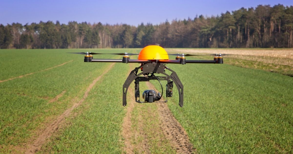
Because of today’s advanced technology, farming is getting smarter, too. Farmers will be able to leverage things like geo-positioning systems, robotics, precision equipment, the Internet of Things, and sensors.
Through the abundance of sensors in their fields, satellites, and tractors, farms can now collect data constantly. This data will be used to make more intelligent decisions that will ultimately boost productivity and reduce environmental impact.
GIS also helps in precision agriculture. It enables the collection of timely geospatial information that allows agriculturists to understand what the soil and the plants need to grow abundantly. With that information, they are also able to apply site-specific treatments that are cost-effective and user-friendly.
Conclusion
As the agricultural industry experiences, more advancements in the technology they use, more opportunities toward a sustainable future are open for farmers and every produce consumer. Eventually, if done right, every person’s table will be abundant with healthy food.
Here at Informatics, we are passionate about the advancements of agricultural technology. Let us help you with our unique software solutions and our team of technology specialists. Contact us today to learn more about our services.
Written by Hiran Wickramasinghe
